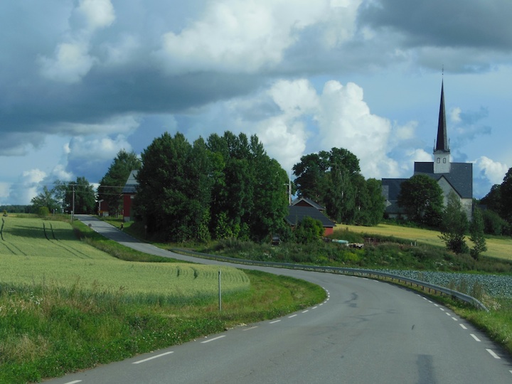
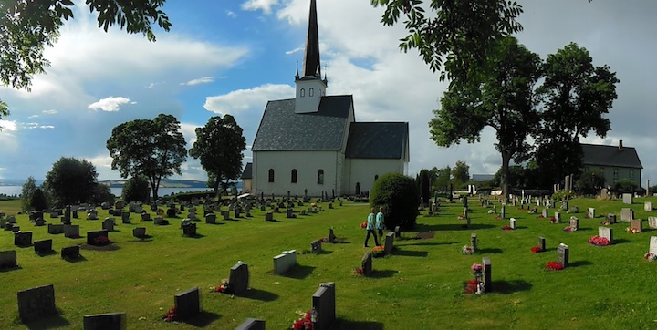
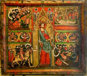
Stange Kirke, Stange, Hedmark
photo Elroy Christenson 2016
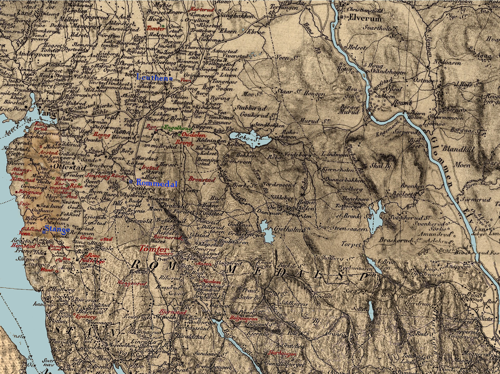
Stange
Kirke in Norway
Stange, Norway
The Stange Church
source:
Elroy's Family Index || Rohne/Egeberg Lineage Map || Ancestor Chart #6
_________________________________________________________________________________________________


All information and
photos included within these pages was developed by
the help of hundreds of researchers. The information
here is for the express purpose of personal
genealogical research and is freely offered as long as
this site is listed as a source. It may not be
included or used for any commercial purpose or
included in any commercial site without the express
permission of Elroy Christenson. Copyright Elroy
Christenson 1998-2016.